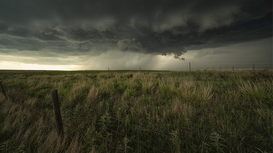
As anticipated, El Nino is intensifying and the implications for upcoming weather patterns in the Midwest are growing stronger. Ocean anomalies have been influential in atmospheric circulation since the correlation was first observed decades ago. These impacts are especially profound during the winter months when pressure systems are more vigorous.
El Nino is in a warming phase in the southern Pacific Ocean that occurs approximately every one to three years. Each phase creates tropical weather variations that affect global circulation. These changes modify weather patterns, which historically create “trends” that can determine local deviations from historical averages.
On a related note, these changes impact sea levels, which often create the perception of climate changes predicated on computer models that rely on “input data” that often reflect current weather changes with no long-term implications.
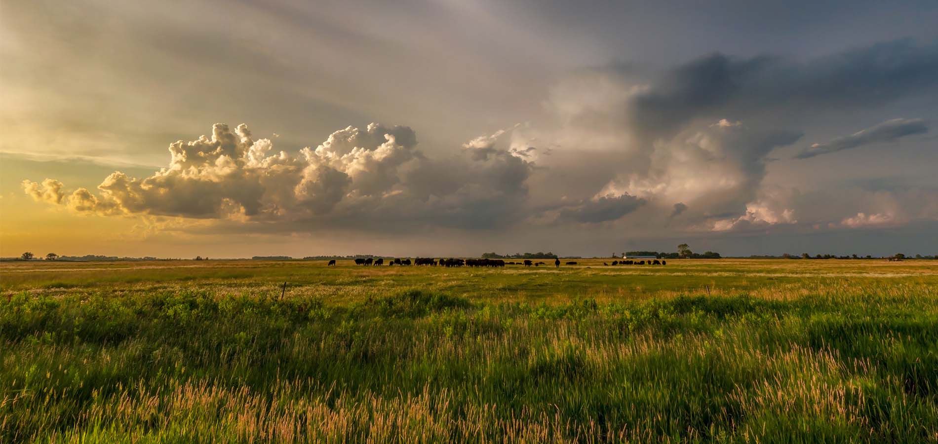
The United States Drought Outlook is forecasting drier conditions across Minnesota, eastern North Dakota, and Wisconsin. In fact, much of the Upper Midwest could see below-normal precipitation values heading into the fall.
Recent observations suggest this could be an intense El Nino episode stretching well into the winter of 2023-2024. El Nino patterns impact the southern jet stream across the eastern Pacific Ocean. This enables more moisture to be transported across the Southwestern United States and promotes greater instability.
Across our region, the northern branch of the jet stream typically gets pushed northward, which inhibits cold air outbreaks. Quick-moving systems often drift across the region spreading lighter precipitation events, but the frequency is often variable. This results in a very malleable precipitation pattern influenced by numerous shorter-term parameters.
During the most intense El Nino events starting back in 1918, rain and snowfall are usually drier than average, with several exceptions, including the winters of 1940 and 1991.
Ironically, the latest 90-day outlook still indicates equal chances of above and below temperatures, along with precipitation.