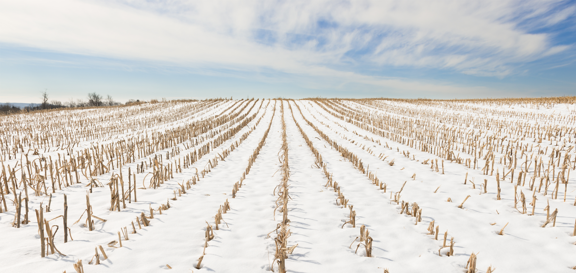
As we expected, this winter has been unusually warm and dry. Snow cover during the month of February has been sparse and the month has been much warmer and drier than normal.
One to six inches of snow was common across northeastern Minnesota and northern Wisconsin. Otherwise, less than one inch of snow was typical elsewhere and many farm fields were bare.
Most river basins are currently rated in the lowest percentile of historical averages regarding flooding potential. Some areas of west central Minnesota are inching into the upper 25% range, and portions of northeastern Minnesota and northern Wisconsin are stretching into the upper 50% range of normal streamflow.
Any sudden surge in spring moisture could easily increase flooding scenarios that may impact tributaries adjacent to low lying farmland. We are optimistic spring flooding should be manageable and historically neutral across the region.
Flood potential remains low across Minnesota, North Dakota, and Wisconsin, and current trends suggest little departure from the existing trend. Keep in mind that March is traditionally the “snowiest” month on record across the region. The warmer-than-average temperatures forecasted through April show rain is equally as likely during a period when heavy snowfall is more typical. Assuming our current prediction of precipitation materializes, odds are we ease into the spring planting season with little fanfare.
The long-range forecast into the month of May still indicates the influence of El Niño across the northern tier of states. At to above normal temperatures still look likely into early spring, which will impact precipitation events that would traditionally yield significant snowfall. The precipitation into early spring appears to emulate the trend we’ve seen all winter long. At to below normal rain and snowfall values are anticipated.
The latest El Niño modeling and observations indicate a gradual weakening and return to an El Niño-Southern Oscillation (ENSO) neutral pattern by April. The historic relaxation of El Niño can precede a developing La Niña event by the following fall.
Typical conditions during La Niña winters are colder than normal. The polar jet stream dives south and chilly air from Canada tends to spill south with more frequency. This is normally accompanied by quick moving clipper systems that shake loose frequent snowfall across the region.
Winter snowfall can be especially heavy across the Great Lakes from Wisconsin into New England. Cold air moving east over the Great Lakes generates lake effect snow that can be very heavy.
We will closely monitor these developing events and keep a careful eye on the developing trends for 2024.